KS3: Global citizens; KS2: Monsoon terror
On 21 June 2010, the 300th UK soldier died of injuries received in the Afghanistan conflict.
By July 2010, the UK Prime Minister David Cameron said that he expected that British troops would no longer be in Afghanistan by 2015.
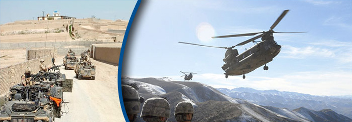 British and American troops in Afghanistan
Also in July 2010, it was announced that British troops in the extremely dangerous Sangin area of Afghanistan's Helmand province were to leave the area to be replaced by a larger number of US troops. A total of 99 of the 300 British casualties died in this area.
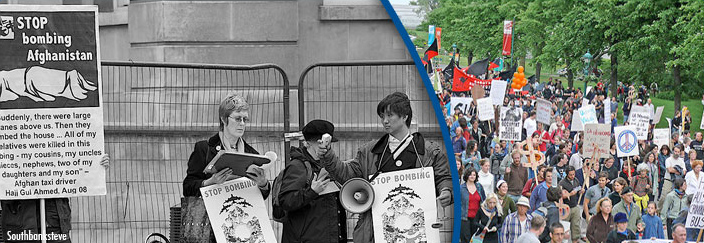
A matter of opinion
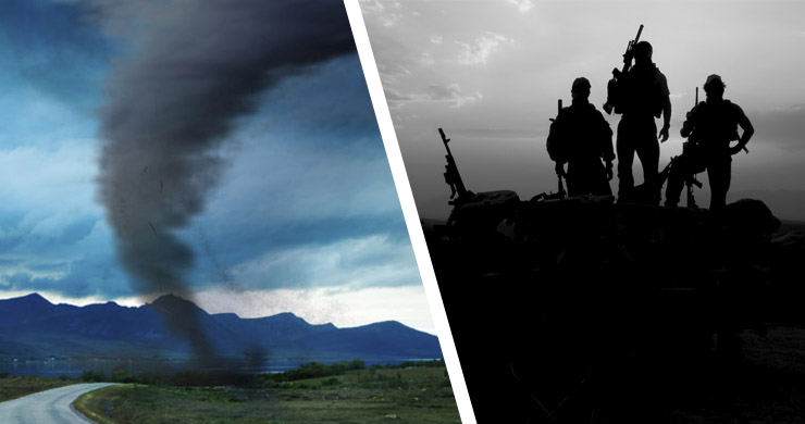
How do these conflicts come about?
Did you know?
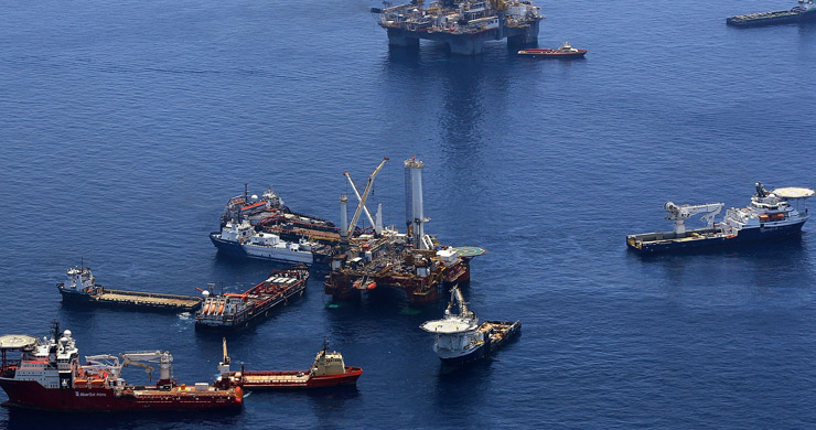
We've all heard about Ordnance Survey Maps - but what does 'Ordnance Survey' mean? It's a really odd name for a mapmaking organisation!
The name the organisation comes from its original military purpose. Ordnance is the word used in the army for the section dealing with military supplies. The roots go right back to 1747, when King George II wanted a military map of Scotland to help his troops fight the Scottish clans.
Also, during the Napoleonic Wars in the late 18th and early 19th centuries when there was a threat of invasion from France, it was decided that a complete and accurate map of the whole of the country was needed. This is how the government department called the Ordnance Survey began.
Stopping conflicts (conflict resolution) and preventing future ones is an extremely important challenge for all of us this century and getting the geographical facts right is very important to sorting out international conflicts.
Have a look at this interactive map to learn about some of the conflicts happening in the world right now.
Flash Player Required

Did you know?
Ask anybody what 'north' is and the North Pole is sure to be mentioned in the answer. This is known as 'True North' and is the exact top point of the 'axis of rotation' of the spin of the Earth.
Our compasses point to Magnetic North, which is actually a moving point near Ellesmere Island in Northern Canada. It changes its average position North-Northwest (NNW) at an estimated 64 km per year. But what's really strange is that every day it also circles round by up to 80 km.
Most maps have grid lines drawn on them that often point to yet another different 'north'! We call this 'grid north' and it is used to make the map as accurate as possible on a flat surface.