KS3: European citizens; KS2: Hurricane nightmare
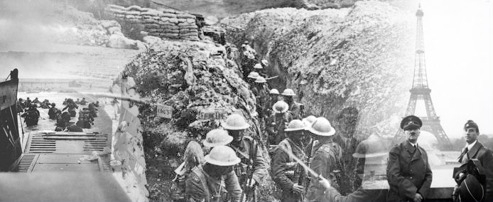
If you think Europe's countries and borders have always been the same, you're wrong! Europe's history is full of conflicts and wars that have changed its national geography over the centuries.
There are people who want countries to split and others who want countries to join together. Because it's impossible for everyone to agree on these national changes, this sometimes leads to violence and even war. But of course, the changes can sometimes happen peacefully.
Before finding out more about conflicts in Europe, why not test your knowledge of European conflict geography by taking our quiz?
Flash Player Required

Who's uniting and separating in Europe?
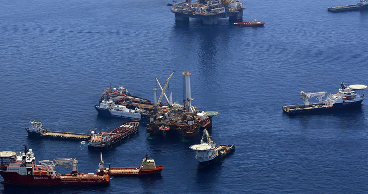
Europe has many examples of nations and regions separating and uniting. This interactive map shows some recent and current examples.
Flash Player Required
Let's look at three of the most recent news stories on some of these conflicts.
Flash Player Required
Did you know?
Maps are a way of showing places and the distances between them. They are used in all the languages of the world. But who began mapmaking?
A 25,000 year old rock etching in the Czech Republic is thought to be an early map of local mountains, rivers, valleys and routes. There are also cave paintings in France of simple star maps that are about 18,000 years old.
About 4,000 years ago, the Egyptians marked the outlines of their land. Their kings marked the boundaries of their kingdom on maps that were sometimes modelled out of clay. Around the same time, Greek mathematicians accurately worked out the distance around the Earth.