Prediction, Planning & Preparing for Tectonic Hazards
Prediction, Planning & Preparing for Tectonic Hazards Prediction
Prediction
The most important tool for predicting seismic events is a seismometer which measures vibrations and shaking in the Earth.
The diagrams or seismographs that they produce can help geologists to predict volcanic eruptions and possibly give a few seconds warning of an earthquake (earthquakes cannot be accurately predicted at present).
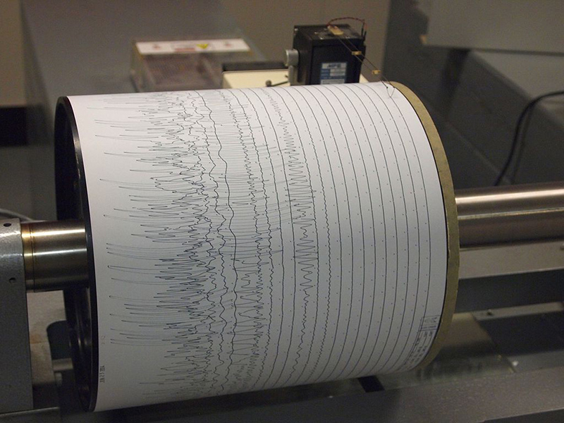
Image: Seismogram at Weston Observatory - Z22 © Wikimedia Commons under Creative Commons Attribution-Share Alike 3.0 Unported
Remember this diagram from the last edition of GITN; harmless waves of energy spread out through the body of the earth and travel directly to the surface.
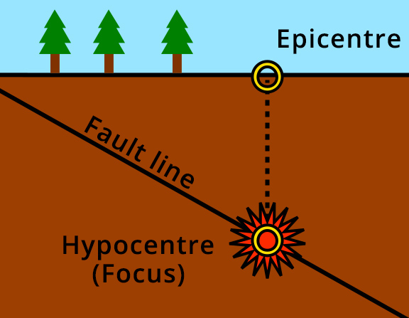
Image: Epicentre Diagram - Ansate / Sam Hocevar © Wikimedia Commons under Creative Commons Attribution-Share Alike 1.0 Generic
These body waves reach appoint on the surface seismometer as a pattern called P & S waves.
The dangerous waves are surface waves; which spread out from the epicentre after energy reaches the surface above the Hypocentre (Focus).
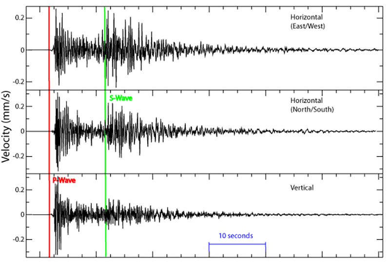
Image: Seismogram - Pekachu © English Wikipedia
These surface waves arrive several tens of seconds after the P & S waves. This might not sound like a lot but automated alarms can:
- Bring down automatic shutters over windows.
- Automatically shut down gat as water valves.
- Give an alarm so that people can get to a safer location (away from tall buildings, into an earthquake shelter, under a doorframe or table).
- Trigger tsunami warning systems; these are very important in saving lives.
Increasing tremors along a fault could indicate that an earthquake is more likely but earthquake prediction is a very poorly developed science and is at best very unreliable.
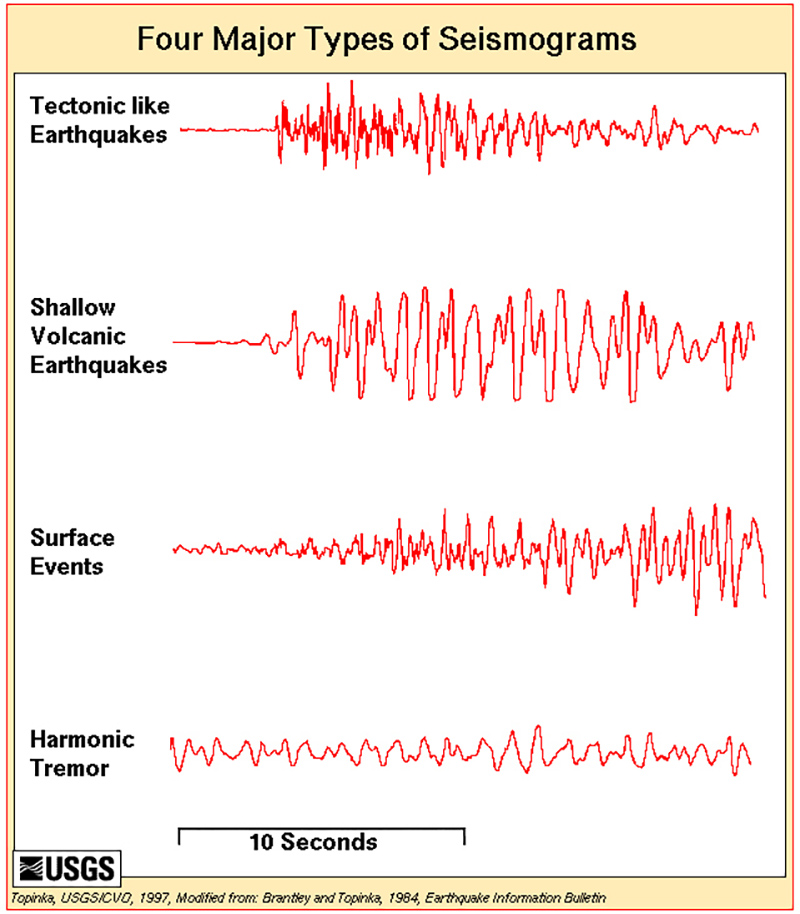
Image: Four-types-seismograms - USGS © Public Domain
As well as their importance in helping with earthquakes a particular seismograph pattern called a harmonic tremor is a reliable predictor that magma is moving beneath a volcano and an eruption could be imminent.
Gasses around volcanoes come out of fumaroles sampling and analysing these gasses as they change can also predict if an eruption is likely.
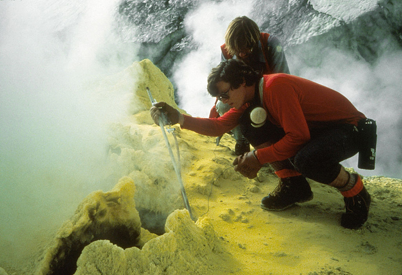
Image: Baker Fumarole - W. Chadwick / USGS © Public Domain
Sampling and analysis of changing water chemistry in hot springs can also be a good indicator of increased volcanic activity.
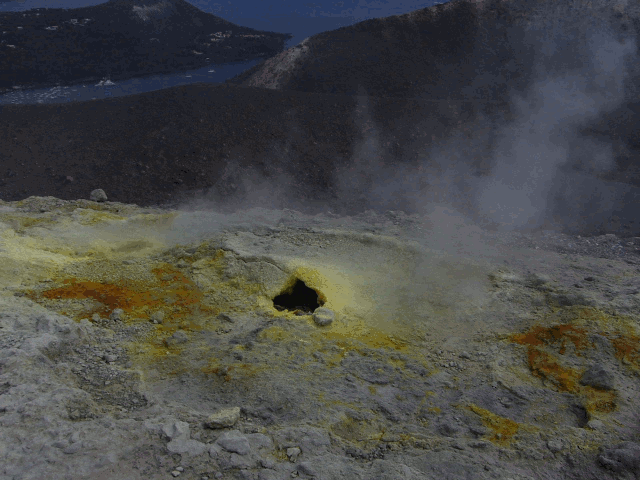
Image: Fumarola, Vulcano, Sicilia, Italia, 2015 - Benjamín Núñez González © Wikimedia Commons under Creative Commons Attribution-Share Alike 4.0 International
Calculating recharge times (time for the magma chamber to fill up and then cause an eruption) from historical and geological records can also give a good indication of an imminent eruption.
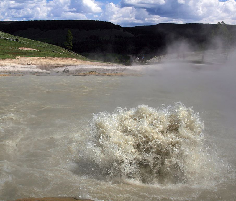
Image: Churning Caldron - Brocken Inaglory © Wikimedia Commons under Creative Commons Attribution-Share Alike 3.0 Unported
Until recently geologists would directly measure slope angles and distances between points to see if the surface was moving. This could be used to help predict volcanic eruptions.
Today most of these types of measurements are made by remote sensing from satellites and sometimes special 3D cameras mounted on planes.
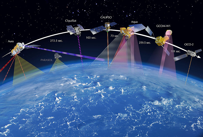
Image: A-Train w-Time2013 Web - NASA JPL / NASA © Public Domain
Prevention
Satellites, seismographs and direct measurements help geologists produce maps of hazards and their likelihood of happening.
Laws are passed that in areas at danger from earthquakes new buildings have to be built to withstand powerful earthquakes.
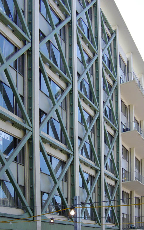
Image: ExteiorShearTruss - Leonard G. © Wikimedia Commons under Creative Commons Attribution-Share Alike 1.0 License
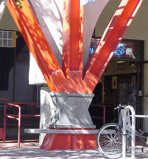
Image: ExtReenfDetail - Leonard G. © Wikimedia Commons under Creative Commons Attribution-Share Alike 1.0 License
Older buildings can also be improved with external bracing and earthquake bolts so that they can withstand earthquakes.
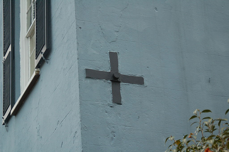
Image: Charlestonbolt - RegBarc © Wikimedia Commons under Creative Commons Attribution-Share Alike 3.0 Unported
Some city planners have high continuous blocks of buildings to act as fire breaks and these combine with rivers and large parks to provide safe places for people to shelter safe from fires that are often caused by earthquakes.
Another key concept is to prevent building in areas prone to specific hazards that cannot currently be engineered to withstand. Such areas are often called ‘red lined’ after the practice of drawing red lines on maps/plans of areas where building is banned or restricted.
Preparation
Practice makes perfect and it is important to practice what to do in an emergency; practice evacuations from volcanic hazards and earthquake drills are all really important in saving lives when a disaster happens. In Japan there is disaster day each year when all civilians and the emergency services practice what to do in the event of a disaster such as an earthquake, volcano or tsunami.
Student Activity
Use the A3 activity sheet to help you think about what you would do if you were in charge of a town or city close to one of the major volcanoes from article 2.
Naples for example is a city of three million that could be destroyed by an eruption of Mount Vesuvius of the same scale as AD 79. Eruptions of this scale happen roughly every 2000 years so another large eruption could start any day now.